Title here
Summary here
Open Hybrid Map Editor from the application sidebar. The editor now manages the hybrid-map configuration directly, so you do not need to edit or replace hybrid-map.json manually.
After setting Hybrid Map (Pro) as the home page’s Primary Map, the application checks the location of each map tile requested by the simulator against the Hybrid Map Editor layers. When a tile matches a polygon, it uses that layer’s map source; when it does not match any polygon, it uses the Fallback Map selected on the home page. Hybrid Map does not blend satellite images together: it automatically selects one source by area.
The Fallback Map is Hybrid Map’s global default and also takes over when the current source cannot provide a usable tile. For example, draw an ArcGIS layer for a region and select Bing latest version as the Fallback Map: ArcGIS is used within the layer, while Bing latest version is used outside it or where ArcGIS has no usable tile. These requests are marked (Fallback) in the Current Map status.
If you choose MSFS Original Map as the Fallback Map, unavailable enhanced tiles return to the simulator’s original streamed satellite imagery. Adjacent areas that use sources with different colors, imagery dates, or sharpness can show visible boundaries. Adjust polygon boundaries and layer order, or use sources with a closer visual style.
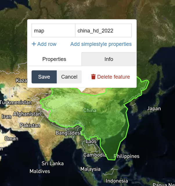
Test the result in the simulator’s world map before starting a flight. If an area uses the wrong source, reopen the editor, check the polygon boundary and layer order, then save again.